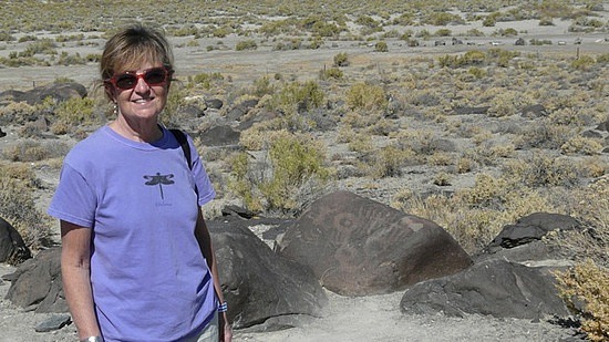
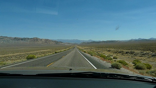
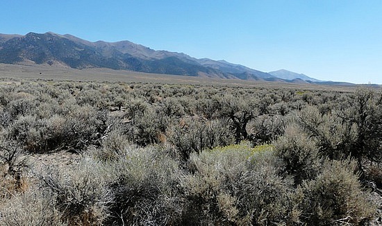
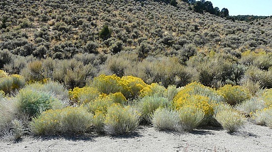
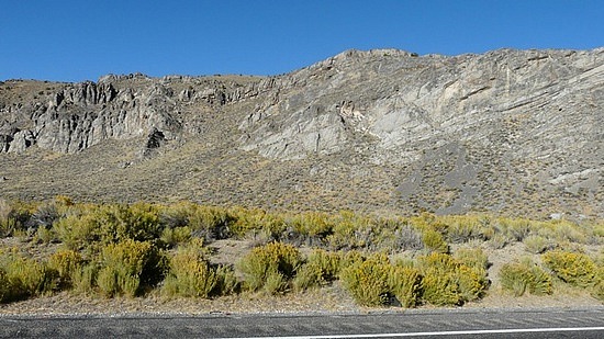
A day of oddities. Highway 50 may be lonely, with nothing to see for miles and miles except sagebrush and, off in the distance, hills and mountains. But it is not boring. Every now and then there is a place that demands a stop. Our first today was Grimes Point Petroglyphs, where a trail leads past drawings that were carved into the rock sometime between 5000 BC and 1500 AD.
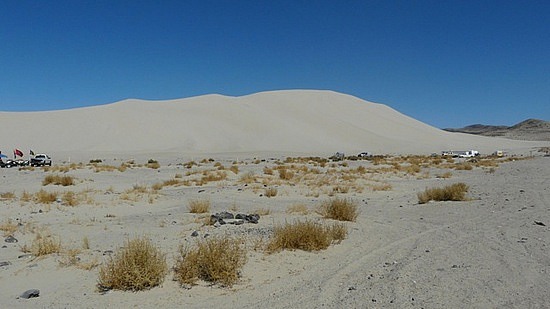
Fifteen miles further east is a huge sand mountain, formed by millions of years of grains of sand blown by Mother Nature. This appears to be the only sand anywhere around, so it is indeed an oddity to find in the middle of the desert. It's a favorite of people with dune buggies.
Nearby are the remains of Sand Springs Pony Express Station. The Pony Express route covered much of what is now Highway 50. What a life that must have been. Riders traveled the 1966-mile route between St. Joseph, Missouri and Sacramento, California in 10 days, changing horses every 10-15 miles, and averaging 75 miles a day. They rode day and night, regardless of the weather, and often met hostile Indians along the way. The requirements to become a rider were "young, skinny, wiry fellow not over eighteen. Must be expert rider willing to risk death daily. Orphans preferred."
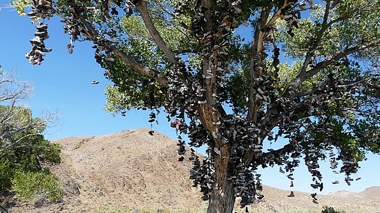
A very strange sight, in the middle of nowhere, is a lone tree covered with shoes. Hundreds of shoes of every type and color. How some of them got to be where they are is mind boggling. We wonder who started this; it then took on a life of its own.
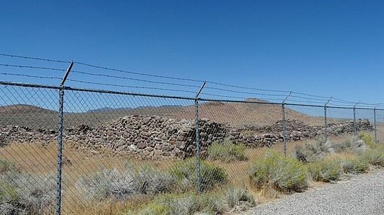
The Cold Springs Pony Express Station has the best-preserved ruins of all of the stations. Surrounded by desert and Indians (at the time), it gives your imagination room to visualize how life must have been.
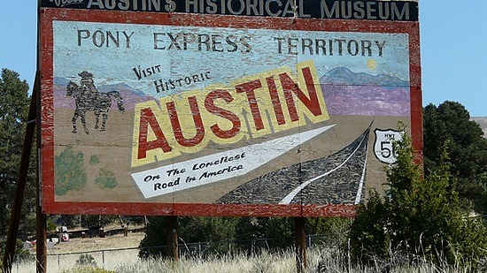
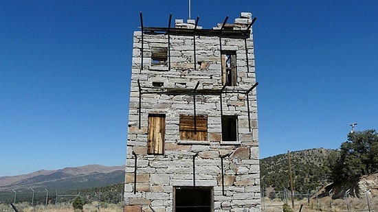
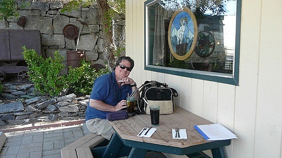
Austin is the next community after Fallon, 110 miles to the east. During the mining boom it had a population over 10,000. Now it's a two block town with a population of 300, a pleasant spot to stop for lunch. Another oddity is found in Austin: Stokes Castle. This 3-story structure built of hand-hewn local granite was the summer home of a wealthy family in the 1890s.
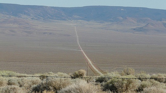
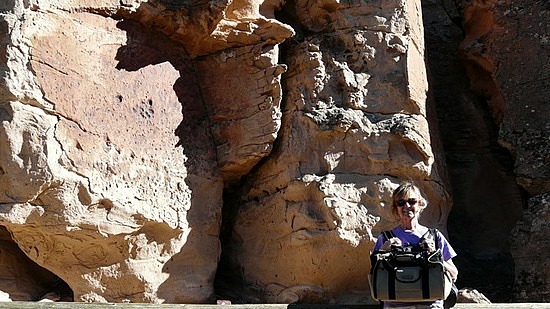
The drive between Austin and Eureka, 70 miles to the east, is a long, flat, mostly straight stretch of highway. When we encountered a curvy stretch up and over a mountain, it felt strange. Again sagebrush stretches for miles and ends at mountains, here 7,000+ high ones. Thirty miles east of Austin is another petroglyph site, Hickison. We took the half-mile trail loop, taking Tuna out for some fresh air in her carrier. This is a lovely site, very peaceful, with scrub and pinons and fabulous rock formations carved over eons. It would be a great place to camp, which is allowed.
Our stop for the night is Eureka.



Comments