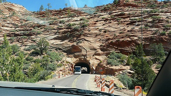
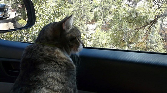
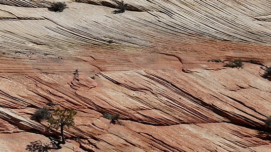
Thursday, September 23. We had a nice drive along the southern part of Zion, although the road to Mt. Carmel Junction is under construction and there were some stops along the way. At least the scenery was gorgeous! You'll see in the photos that even Tuna decided to take a look out the window.
At Mt. Carmel Junction we headed north to Bryce Canyon National Park. We dropped in elevation to 5200 feet and then started climbing again. We passed farms and small villages. We looked to no avail for a place for a picnic lunch and finally decided we might as well go into Bryce for our picnic as the drive wasn't that far. There are some reddish cliffs north of the road as you approach Bryce but it is very different from Zion. As you drive into Zion, you are surrounded by those beautiful cliffs. The drive into Bryce looks like a high Sierra road, with grasses and pine trees. The guy who sold us the bumbleberry pie told us that he was sad we were going to Bryce after Zion because we would be disappointed. We began to think he was right.
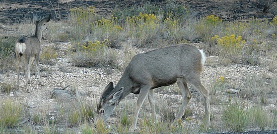
We showed our national parks pass to the gate attendant and then stopped at the Visitor Center for information on picnic spots. We found a nice spot and had our lunch. We felt like we could have been in one of the Northern California state park camp sites. A chickadee kept us company in a nearby tree, hopping down for bread crumbs. We saw three pretty deer. As we left to go check in at our motel in Tropic, nowhere did we see the sights we expected to see at Bryce.
We had to stay in Tropic as the one pet friendly place at Bryce was booked, even though I made reservations several weeks in advance. The motel is old and shows its age but the little village is pretty, nestled among hills and with verdant farms. There are two restaurants, both within a block, if they did indeed have blocks. The area that is now Tropic is where Ebenezer and Mary Bryce settled. To paraphrase Ebenezer's humorous quote about Bryce Canyon, "it's a heck of a place to lose a cow".
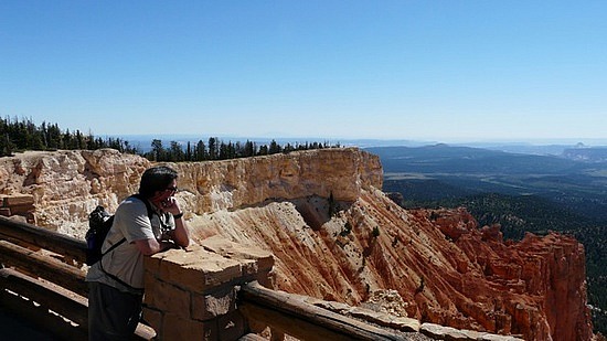
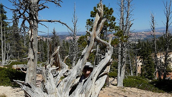
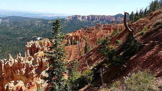
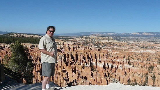
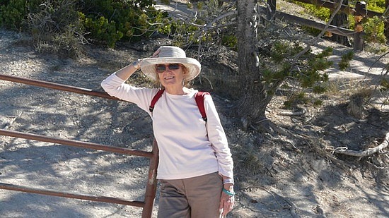
Friday, September 24. We spent the day at Bryce. Okay, the guy at the bumbleberry place was correct in that Zion's beauty surpasses that of Bryce but Bryce is also beautiful in a different way. Bryce has large shuttle buses but they only go to certain stops so we decided to drive (in Zion you aren't allowed to drive except in the off season). We headed to the end of the road, 18 miles from the visitor center, to Rainbow Point. There are expansive vistas there and, it being a clear day, we were able to see Navajo Mountain and even the north rim of the Grand Canyon. We took the bristlecone loop hike and were rewarded with close up views of these pines, which are the oldest living organisms in the world. We were also rewarded with more of the expansive views of southern Utah and Arizona (maybe that was even New Mexico in the far distance?). This part of Bryce is over 9100 feet in elevation and the hike had its ups and downs. We were fortunate to be coming from Tahoe, where we live around 6300 feet, so we breathed the air better than many. But I nicknamed the trail "vertigo trail". Whew, if you suffer at all from vertigo, you will so suffer at Bryce. There are a lot of trails that are on the edges of precipices and aren't protected by railings. Scary stuff. Mark, having perhaps been a mountaineer in an earlier life, gets a very broad smile when he sees these precipice opportunities and out to the edge he goes.
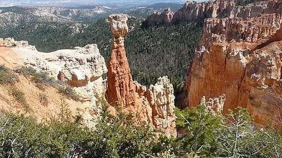
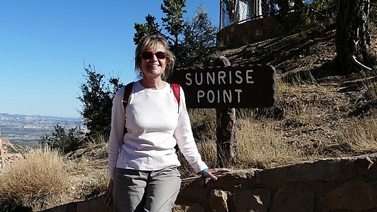
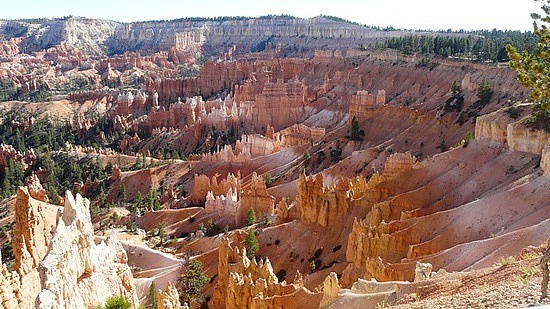
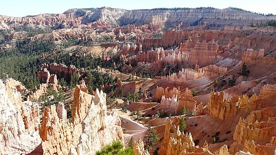
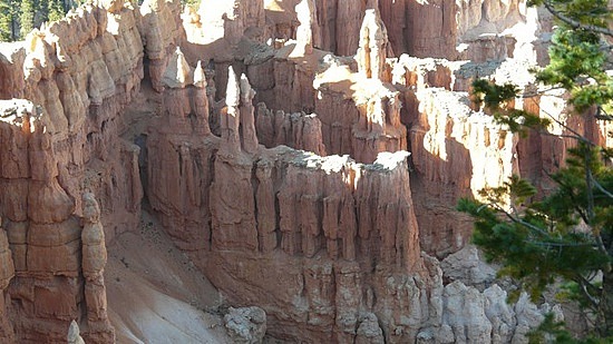
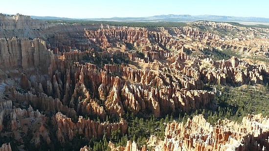
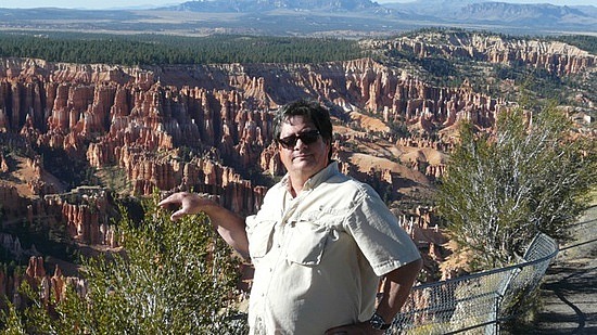
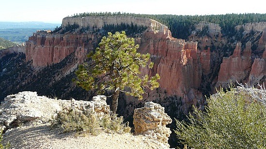
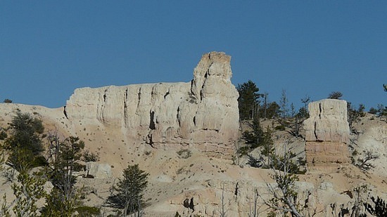
Over the course of the afternoon, we stopped at every possible overlook and enjoyed the views. Bryce isn't actually a canyon, rather it's an amphitheater. Erosion again played its part over millions of years and created pillars of what are called hoodoos. The area that is Bryce, Zion, and the Grand Canyon is all connected and forms what geologists call a staircase. The lower levels of Bryce are the top levels of Zion and the lower levels of Zion are the top levels of the Grand Canyon. It's a marvel of geological history and forces. Whereas your views at Zion are mostly upwards, at Bryce they are mostly down into the amphitheaters where the hoodoos and other rock formations are. The stone looks softer than it does in Zion. The colors at Bryce are the result of oxidized minerals. The pink, orange, and red are from iron, the purple from manganese, and the whites are purer limestone.
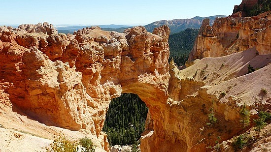
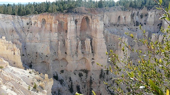
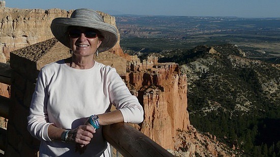
Zion has more accessible trails for all levels of hikers than does Bryce and they more easily take you into the back country. Bryce's rim trail is paved for a long way and seems like a city sidewalk rather than a trail through a beautiful natural environment. Bryce is a beautiful place in its own way, though, and we were awed at the sights at Natural Bridge, the Bryce Amphitheater, and the grottos at Paria View Point.
"I need solitude, I have come forth to this hill ... to see the forms of the mountains on the horizon - to behold and commune with something grander than man." -Henry David Thoreau, Journal, August 14, 1854.


Comments